


Isle Of Wight - Street Atlas
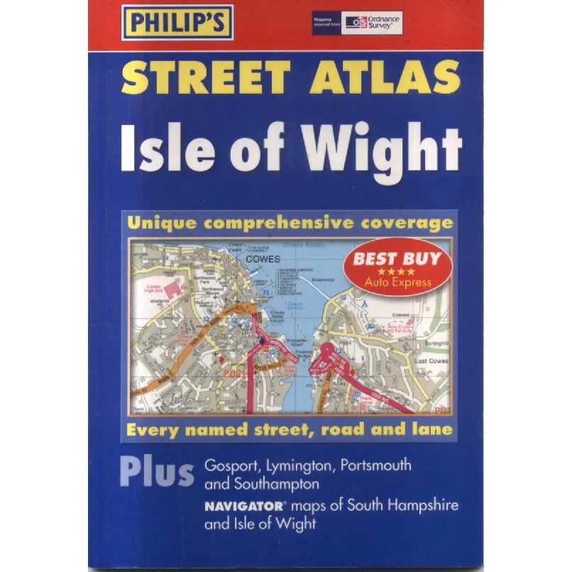
Publisher: Philips
Format: Paperback
ISBN: 9780540086382
Some books invite you to lose yourself in imagination. Others, far more usefully, try to prevent you from getting lost in the first place. Isle of Wight – Street Atlas sits firmly in this second category: a practical, unromantic, faintly heroic attempt to impose order on roads, lanes, cul-de-sacs and the occasional optimistic shortcut.
Published in 2004 by Ordnance Survey under the Philips imprint, this is not a book that cares how you feel. It cares where you are. It is a collection of lines, symbols and labels arranged with quiet authority, designed to guide you from A to B without philosophical distraction. No sweeping narrative. No lyrical digressions. Just the steady reassurance that, yes, that road does exist, and no, you are not entirely lost—yet.
There is something wonderfully reassuring about a proper printed atlas. Before phones began confidently guiding us into lakes and down farm tracks, there was this: a book you could hold, fold (badly), and consult with growing urgency at a junction. The Isle of Wight, with its charming mixture of seaside towns, rural lanes and deceptively simple geography, is exactly the sort of place where such an atlas earns its keep. An island should be easy, you think. It is surrounded by water. How complicated can it be? This book exists to gently suggest: more complicated than you imagine.
And what a particular pleasure it is to see the Isle of Wight reduced—respectfully, but decisively—to a grid. The romance of the coastline, the nostalgia of seaside holidays, the quiet beauty of inland villages: all translated into roads, roundabouts and carefully indexed street names. It is geography rendered practical. A place transformed into something navigable rather than poetic. And yet, in doing so, it becomes oddly poetic in its own right.
There is also a charming irony in the survival of such a book. In 2004, this would have been an essential tool. You might have kept it in the car, consulted it with mild tension, perhaps argued over it with a passenger who insisted you had missed a turning. Now, in the age of GPS and real-time traffic updates, it reappears as a relic of a more tactile, slightly more uncertain way of travelling. A time when finding your way involved stopping, thinking, and occasionally turning the book upside down in the hope that clarity might emerge.
As sold by Crappy Old Books, this copy is in Good condition, which feels entirely appropriate. A street atlas should not be pristine. It should look as though it has been used, perhaps opened across a steering wheel, perhaps thumbed through at a petrol station, perhaps consulted in a moment of quiet panic on a narrow road bordered by hedges. Good condition suggests it has lived a little, but remains perfectly capable of doing what it was designed to do: tell you where you are, even if you would rather not know.
And there is something deeply satisfying about owning a physical map in an age when most directions are delivered by a calm, disembodied voice. A book like this asks a little more of you. It requires interpretation, orientation, and a willingness to engage with space in a slightly more deliberate way. It is navigation as participation rather than passive instruction.
For collectors of maps, lovers of British geography, Isle of Wight enthusiasts, or anyone nostalgic for the days when journeys involved a degree of guesswork, this is a quietly delightful find. It is practical, methodical, and unexpectedly evocative of a time when getting somewhere was an activity in itself rather than a background process.
Isle of Wight – Street Atlas is not glamorous. It will not change your life. But it might, in a small and highly specific way, stop you from taking the wrong turning. And sometimes, that is more than enough.
Condition: Good. Slightly travelled, entirely useful, and still capable of guiding you—if you are prepared to do a little of the thinking yourself. Sold by Crappy Old Books.
Keep browsing: See more Maps books Other books by Ordnance Survey
